Fly fishing southwest Wyoming was the next stop on our 2021 fly fishing road trip. How did we get there? Well, we left the Madison River in Montana trying to find clear skies after fishing next to a forest fire at $3 Bridge.
Our travels took us past the Henry’s Fork of the Snake where we had terrific fly fishing only 2 weeks ago. My how things have changed.
We stopped at Last Chance and didn’t see one fly fisher on the water! Driving a little farther to the upper end of Harriman State Park, there were only 3 vehicles in the parking lot and one was leaving.
We had discussed driving into Wyoming, but hadn’t made any specific plans. That’s how we plan these days in a campervan…spontaneous.
I had done a little research and thought southwest Wyoming looked intriguing. A Trout Unlimited forum thread discussed different species of cutthroat and I thought it might be something we might enjoy.
Our only other experience fly fishing in Wyoming was a couple of years ago when we fished the NF Shoshone on the eastern entrance to Yellowstone National Park.
The southwest corner is home to the Tri Basin Divide at roughly 8,700 feet, which includes the beginnings of the Grey’s River, La Barge Creek, and Smiths Fork. This is a very unique spot since the Grey’s River empties into the Snake and then Columbia; La Barge Creek goes to the Green River and Colorado basin; and the Smiths Fork flows into Bear River and the Great Salt Basin.

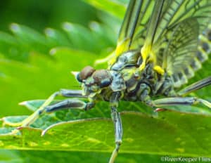
The Tri Basin Divide is home to 3 species of Wyoming’s cutthroat trout. These include Snake River finespotted (Grey’s), Colorado River cutthroat (La Barge), and Bonneville (Smith’s Fork).
Our route took us through Jackson, Alpine, and Afton turning east just past the small town of Smoot onto Salt River Pass. (The Salt River Pass was the route Lander used as a “short-cut” for the Oregon Trail as late as about 1910.)
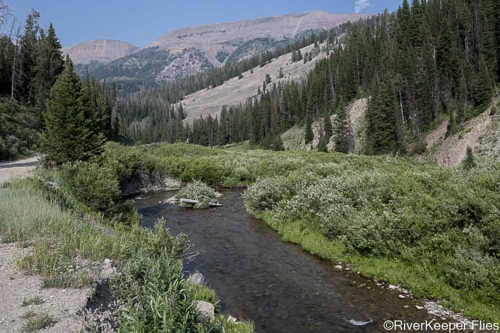
Here are the headwaters of the Smiths Fork River while driving up the Pass.
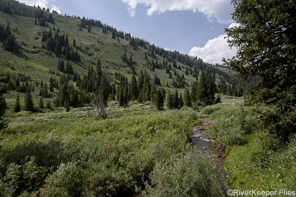
And a look down the valley at La Barge Creek headwaters from the Tri Basin Divide.
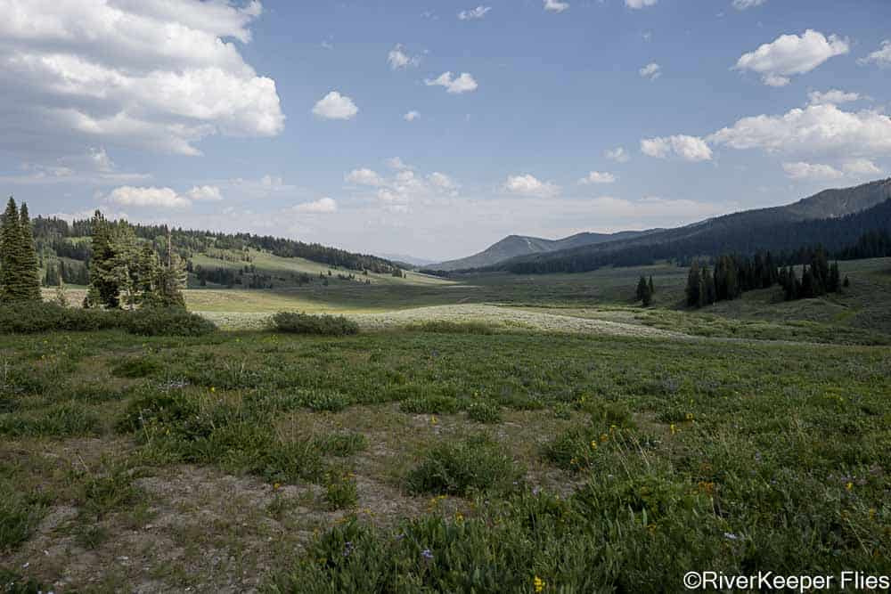
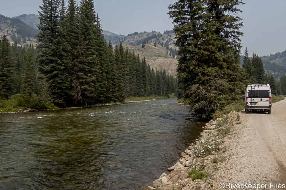
At the Tri Basin Divide, we followed the headwaters of the Grey’s River downstream.
This is a VERY rough road, much of it one lane, that took us 3 hours before stopping for the night at a likely fishing spot.
On many mountain passes, the roads are well-maintained gravel roads on the lower section. The farther up you drive, the roads become narrow and steep, just like the headwater streams.
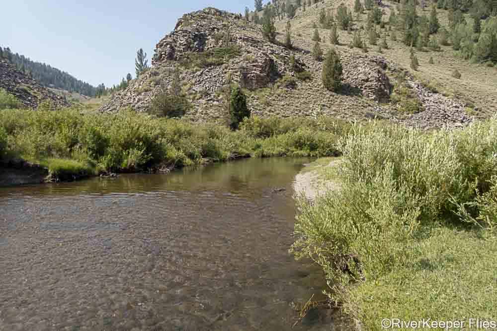
We spent the night at Corral Creek and fished a couple of hours before the setting sun drove us off the water.

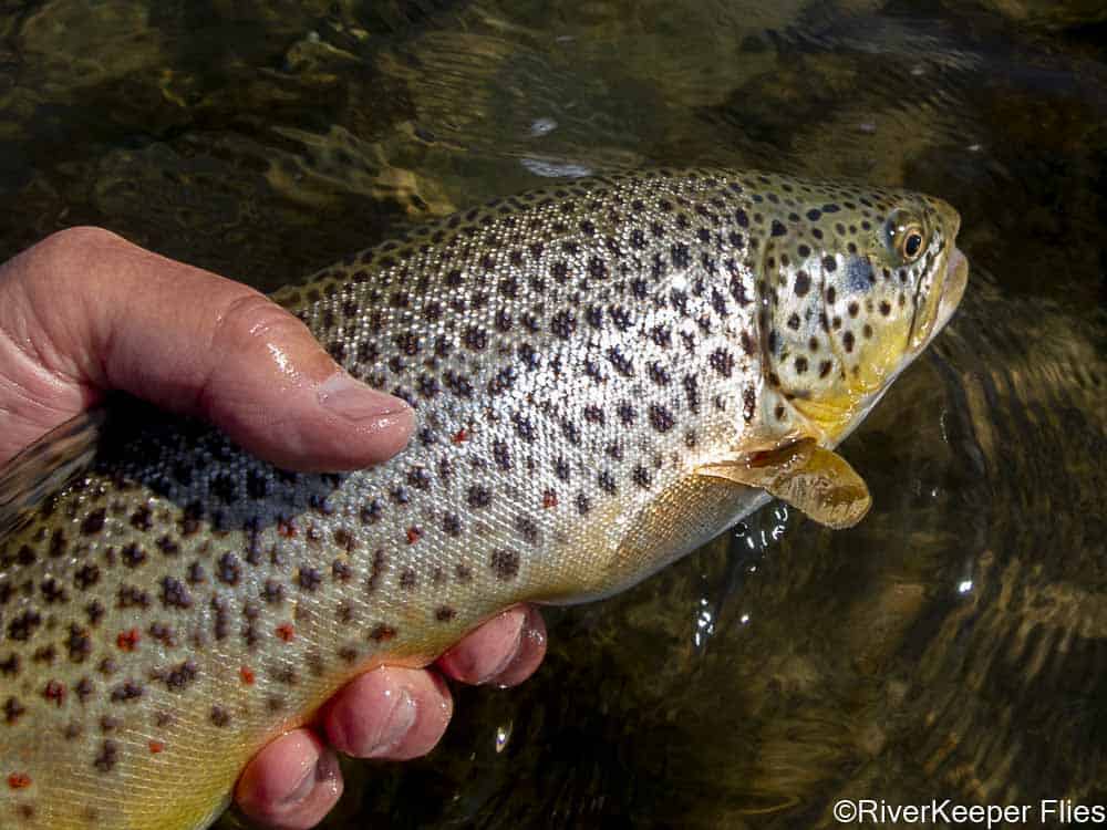
The fish gods smiled down at us and we ended up hooking 4 and landing 3 Snake River finespotted cutthroat trout.
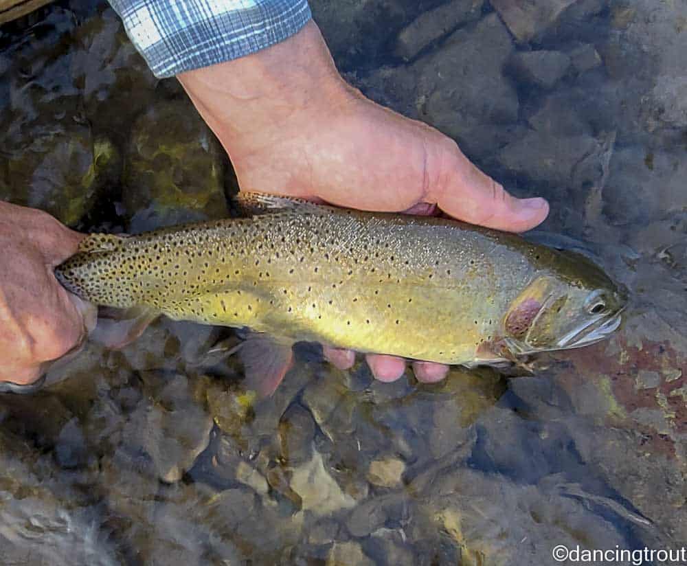
These aren’t big fish in the small water we fished, but they are beautiful.
That evening, we were making plans for the next day. I thought we might continue downstream for about 10 miles to see wildlife and hoped for a little larger water with a place to fish. Then, we’d head back the way we came and enter the La Barge drainage and see what we could find.
Little did I know my concern for gas wasn’t the primary concern.
I awoke the next morning and for some reason decided to check the tires. You guessed it, I had a flat after travelling so many hours on the rough road.
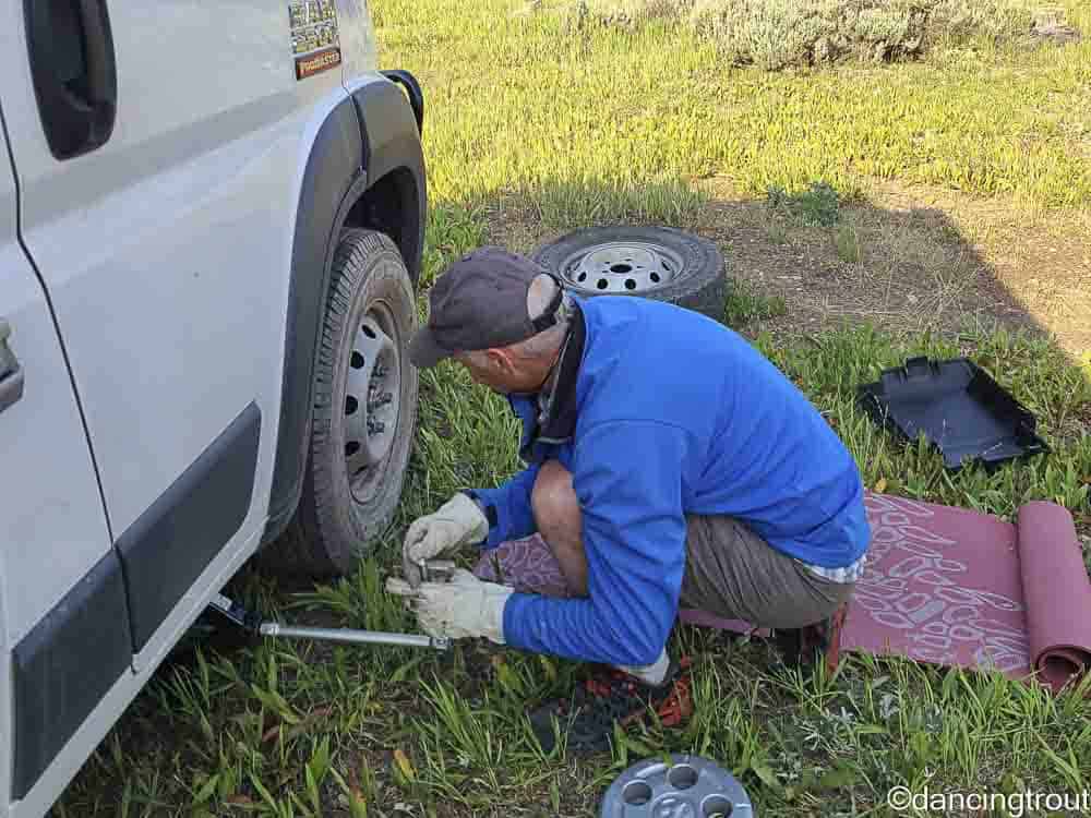
After changing the tire, we decided it was prudent to choose the quickest route to repair it.
So down the river we went.
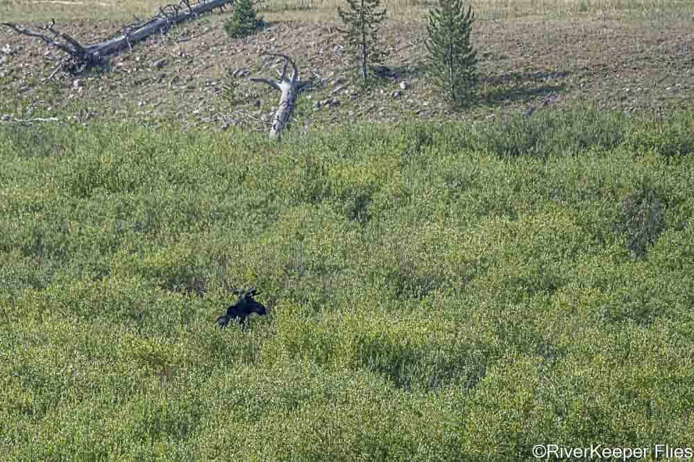
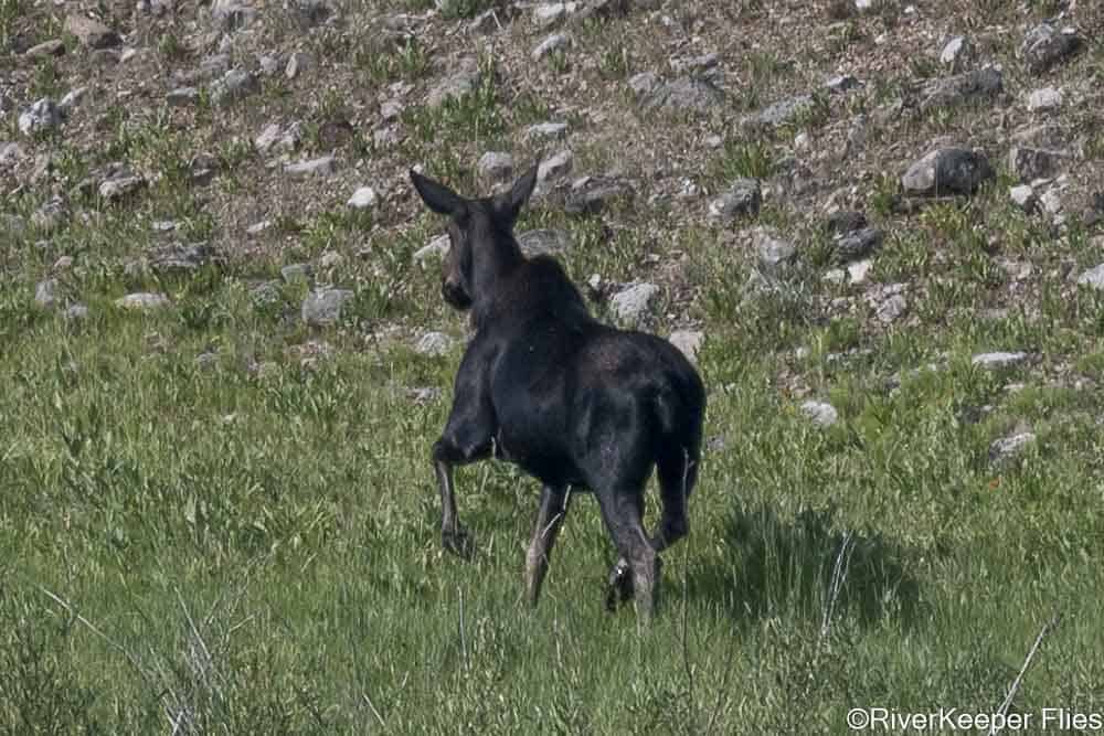
Luckily, we spotted a couple of moose on the drive.
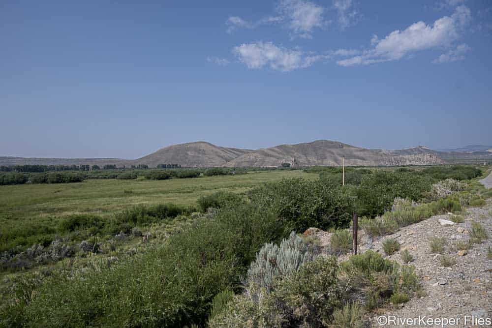
The river looked very fishable as we drove downstream.
I fished one hole and landed a couple of smaller fish.
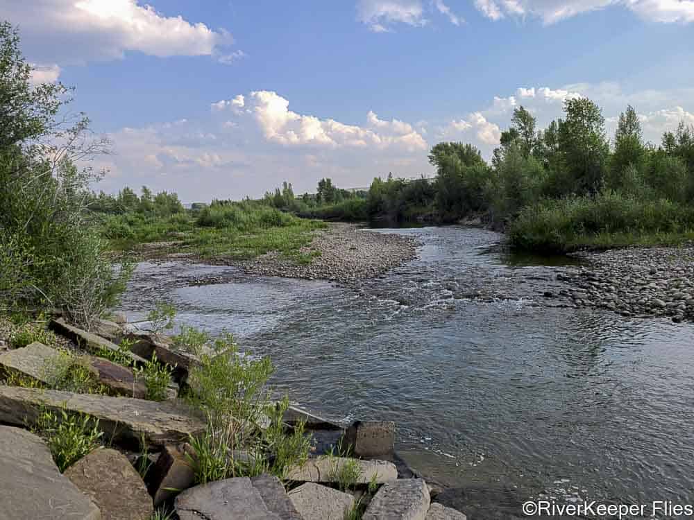
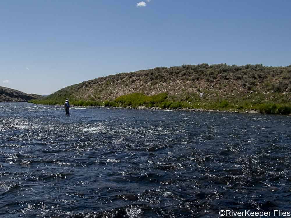
Here is a section of the lower river.
I have a good friend with a campervan who I think would like the Grey’s River.
It was about 45 miles down the Grey’s River to the town of Alpine. Another 15 miles or so south, we found a tire repair. A short time later we were back on the road again.
But to where?
The map came out and we looked at the Bear River in Evanston and a chance to fish for Bonneville cutthroat. It was ONLY a 2 hour trip, so off we drove…only to find small water and temperatures of 74 degrees.
Well, that didn’t work out so well.
Our map is getting a lot of use!
How about heading northeast towards Pinedale? It was only 160 miles!
Our options included the Hams Fork, La Barge, Green rivers.
We drove up the Green River to the town of La Barge. Turning onto the road which follows the creek upstream.
After several miles, we fished this one spot. The deep slots looked like they would hold trout, but we didn’t get a rise.
A small ditch crossed the road a short time later and had a few large rocks in it for passage upstream. We decided not to tempt the crossing and turned around.
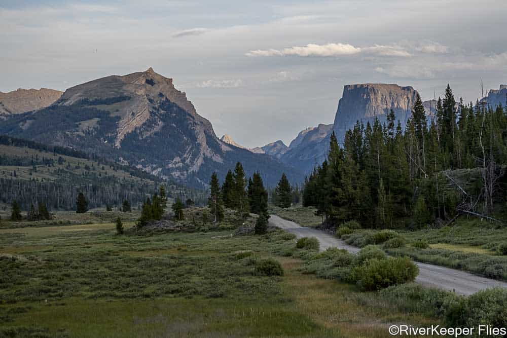
We ended up in Pinedale and drove through town before retracing our route to Warren’s Bridge, a BLM site on the Green River.
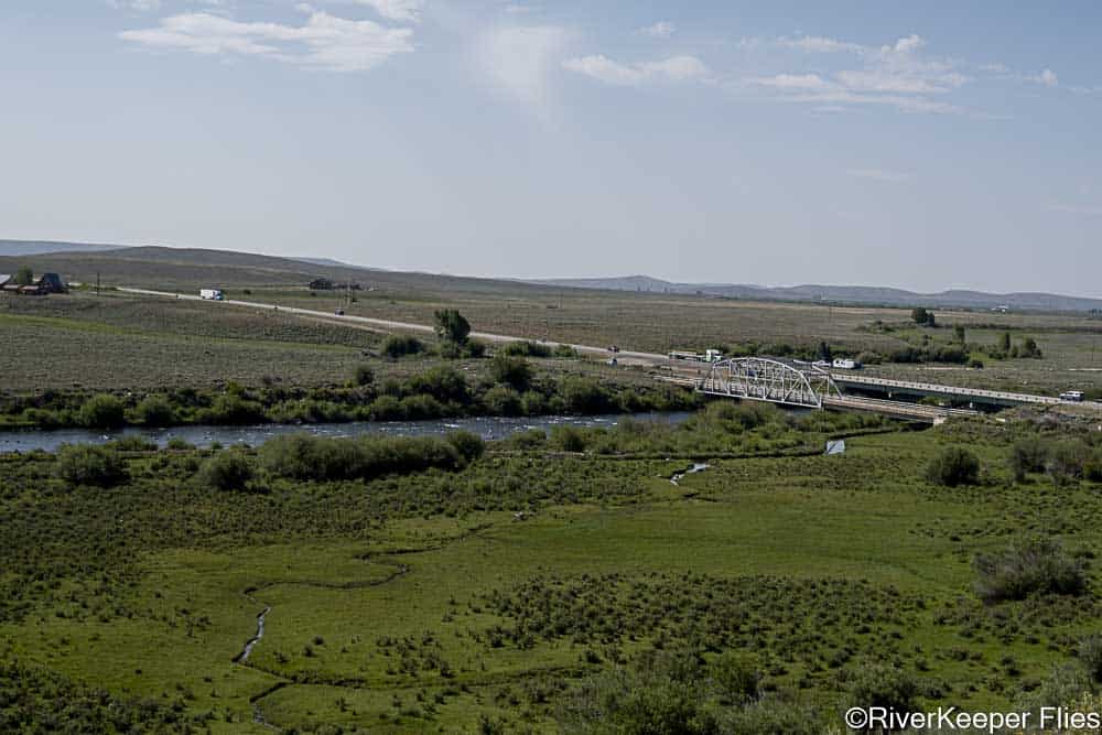
Driving upriver, the BLM has several camp sites and we selected one.

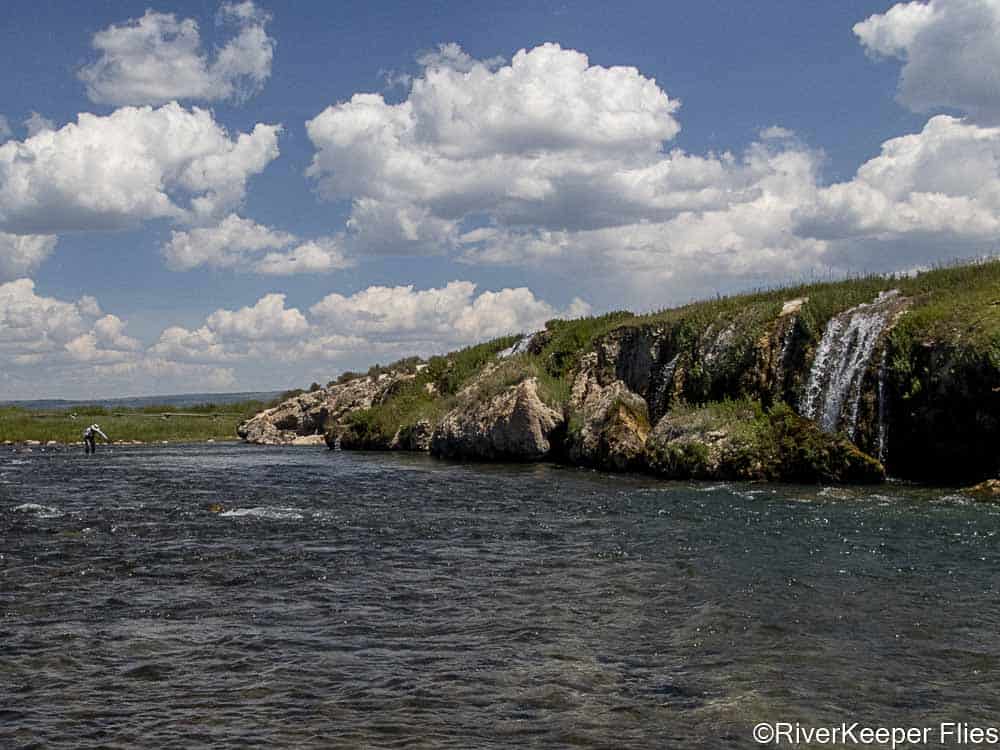
Here is the camp water we fished the first evening.
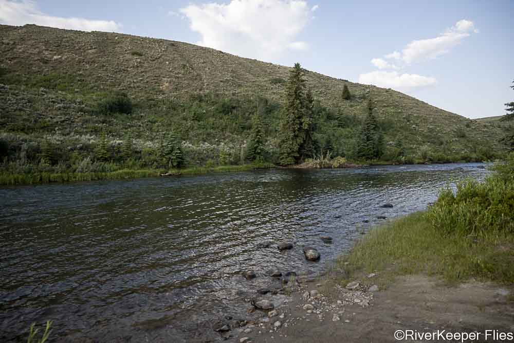
And the water just below.
A few fish came to our flies, but most were Whitefish.
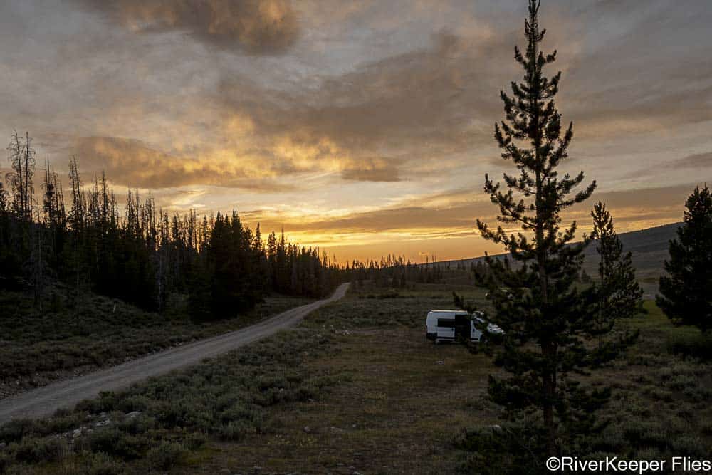
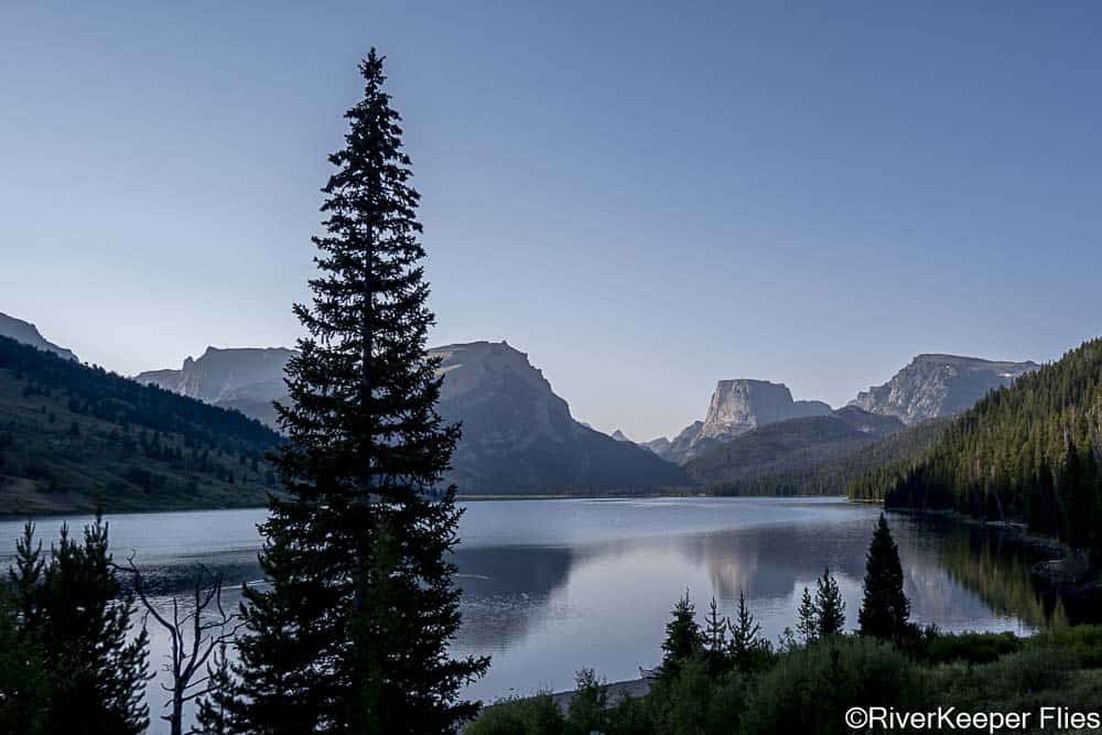
The next morning, we decided to drive about 60 miles up to Green Lakes, the headwaters of the river at the base of the Continental Divide.
This was the view from our campsite that night.

And a closer look
The next morning, we headed to the lake.
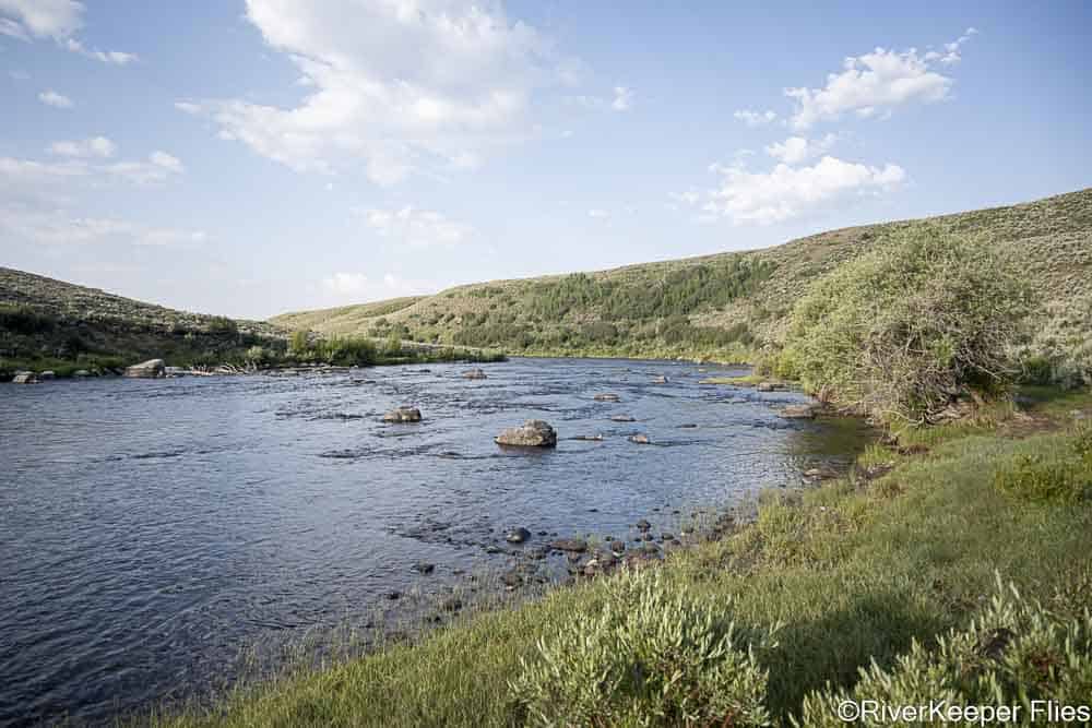
We fished a spot a couple miles down from the lake.

I saw a few rises, so off we went to the river.
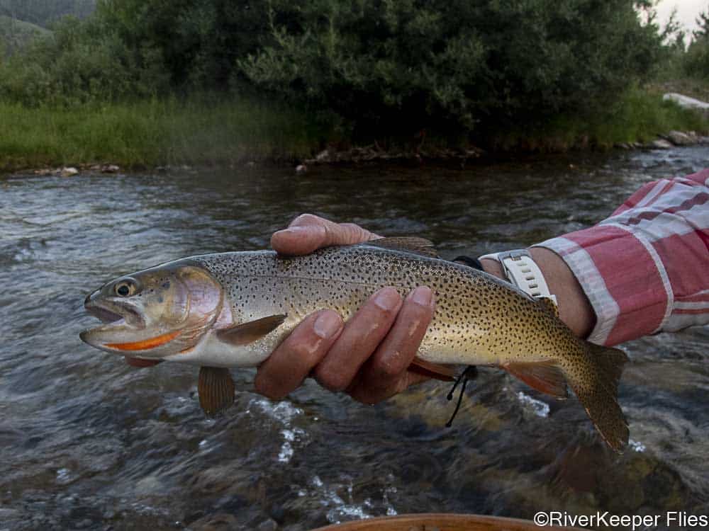
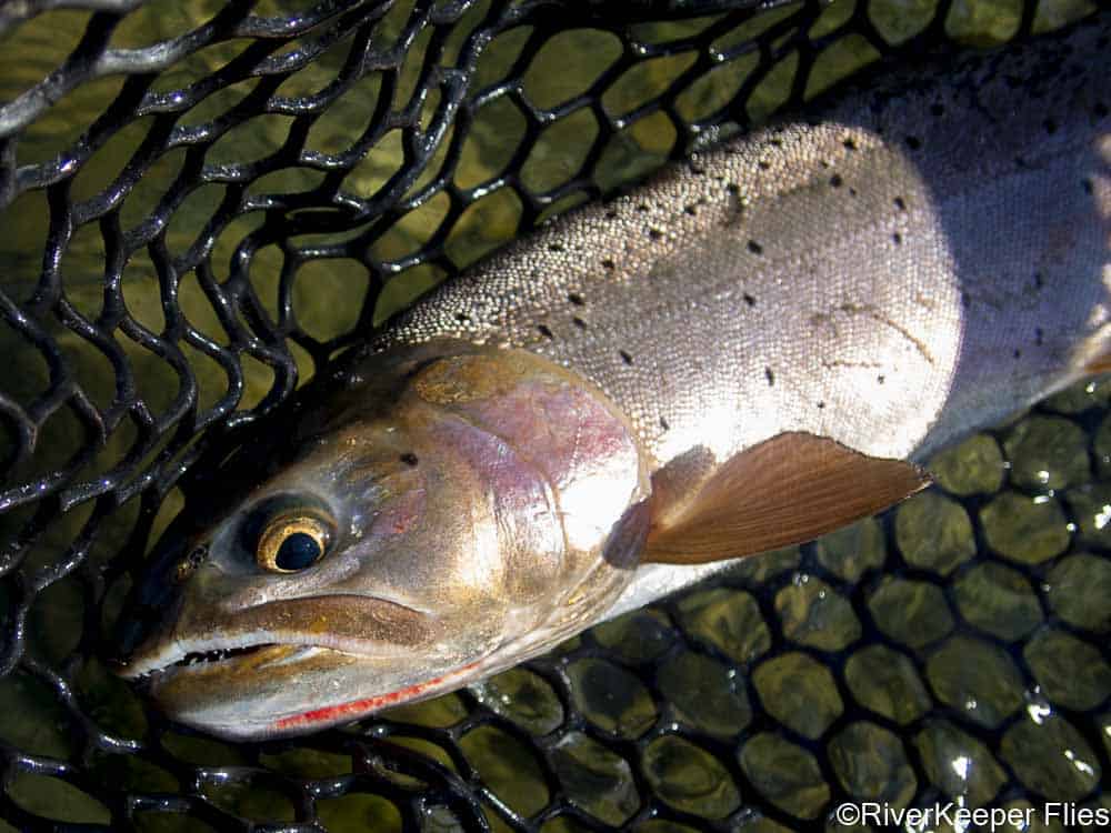
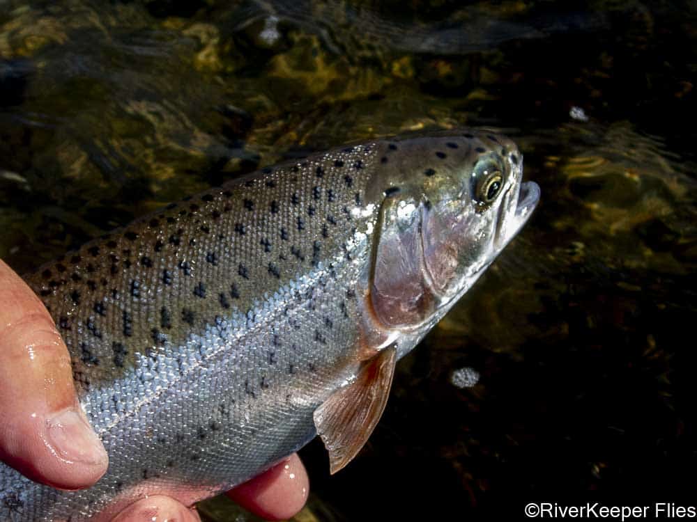
A short time later, I had landed a Colorado Cutthroat…
a Brown…
a Rainbow…
and a Whitefish.
I thought we finally found a great spot to catch some nice fish!
It turns out, almost all of the remaining fish we landed, at least 10 each, were Whitefish. A couple of smaller Rainbows came to hand, but I sure couldn’t figure out where the larger fish went.
I was surprised to note much of the upper Green River is slow moving. In fact, the lake is around 8,100 feet and at Warren Bridge the elevation is about 7,500 feet. That’s a 600 foot drop in 60 miles! No wonder the river is slow moving.
We did find a few riffles to fish.
This is Kendall Warm Springs which flows into the river. The temperature was 84 degrees and is home to an endangered species dace.
The last evening we fish, only a handful of fish came to hand…Whitefish and one small Brown Trout. I took the temperature and was surprised to see it was 68 degrees. Time to move again.
We certainly haven’t figured out this river. Perhaps we’ll return someday.
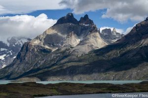
We drove over 1,000 miles in southwest Wyoming in only 5 days. Some of the extra miles were our choice to see the sights, taking the long way around the Wind River Range to get a different view of the Continental Divide.
Unfortunately, we seem to be finding a little smoke as we head back to Yellowstone National Park.
Enjoy…go fish, stay safe!

This was a wonderful read. Lots of driving! You were close to Amelia Earhart’s old cabin where she loved to fish with her bamboo fly rod! Amazing photography. Thanks for your work. Mark over at Trout Bumming.com
I suggest a plug kit and pump goes in the rig.
Awesome country!
Friends say there’s good trout water up in the NW quadrant of WY….looking forward to making a trip there.
Gorgeous scenery. Chalk that up as a win. If it swims and has a tail, it is fun to catch in my book. Round my parts, you can cast for a steelhead or a salmon but then reel in a sheepshead. Not as pretty (uglier than anything), but the fight was fun. The great thing about them is that if you smile at them, they may smile back, teeth and all. Happy fishing.
Been there, also got a flat. Some beautiful country. Your Blog reinforces our decision not to drive all the way up Grey’s River Road to La Barge, although those cuttie multi species were tempting. Thanks for the beautiful photos. The Wyoming sky and landscape is stunning and definitely worth revisiting. Safe travels.